AI system maps Australia's coastline from space
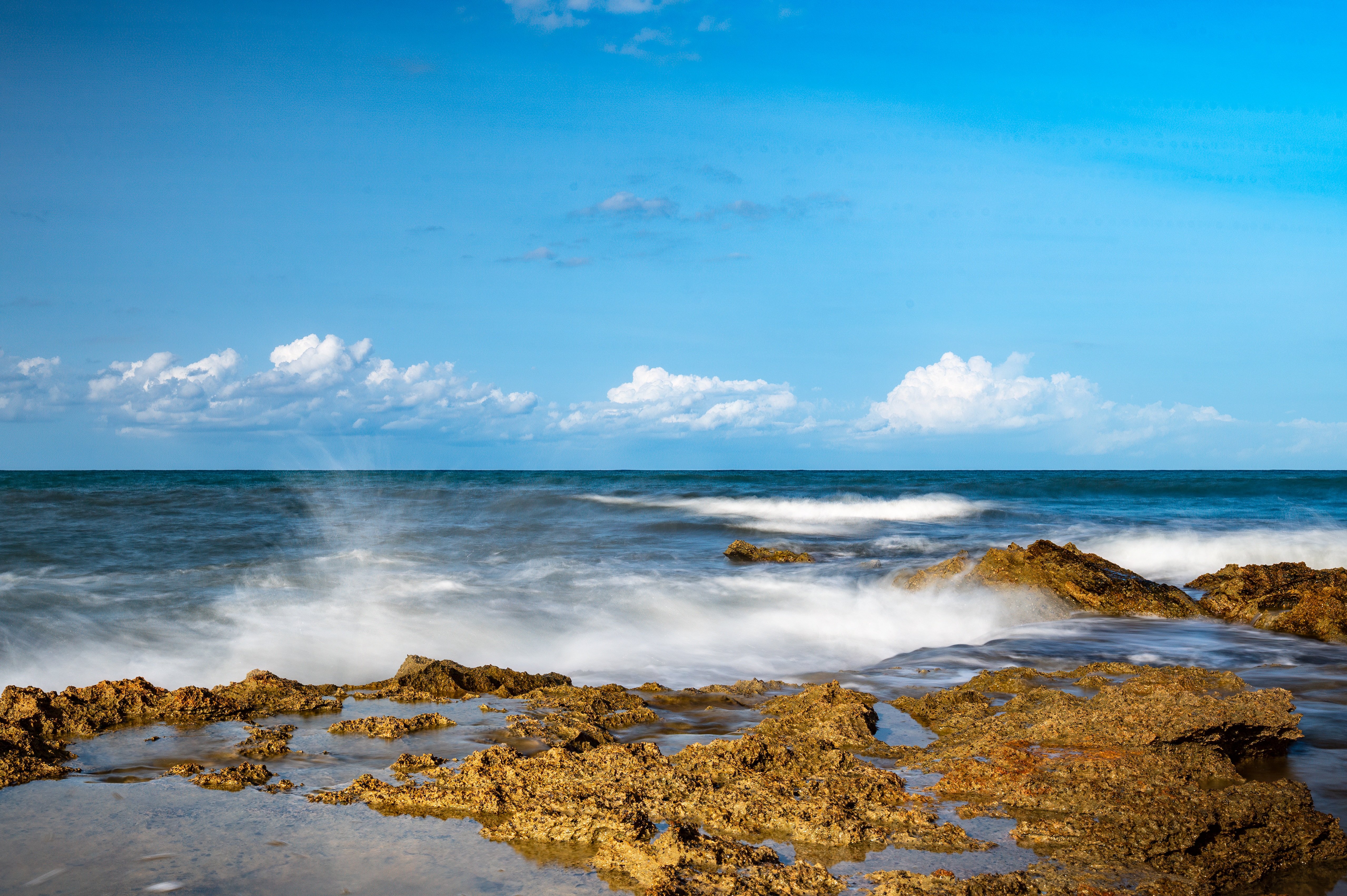
Australia's coastline is under increasing pressure from coastal development, industrial expansion, and climate change. Traditional water quality monitoring methods can't provide the real-time, comprehensive coverage needed to protect marine ecosystems and coastal communities.
Harmful algal blooms, toxic runoff, and water quality degradation can develop rapidly, yet remain invisible until they reach crisis levels. Government agencies and environmental regulators need better tools to see what's happening beneath the surface.
To address this challenge, La Trobe researchers have developed HyperEst, a machine learning framework designed for large-scale aquatic monitoring. The framework is part of La Trobe's partnership with CSIRO's AquaWatch program. AquaWatch monitors and forecasts water quality across Australia and globally using Earth observation satellites and ground-based sensors to provide early warnings of harmful events like toxic runoff and algal blooms.
Led by Professor Wei Xiang, Director of the Cisco-La Trobe Centre for AI and IoT at the School of Computing, Engineering and Mathematical Sciences, HyperEst delivers significantly improved prediction accuracy for key water quality indicators like chlorophyll-a (which is a marker of algae concentration), compared to baseline NASA algorithms.
As of early 2026, the framework had already generated over 500 high-resolution water quality maps covering approximately 692 square kilometers of Australian coastline. These maps are hosted on CSIRO's ADIAS platform and are being used by organisations including the Department of Water and Environmental Regulation in Western Australia and Queensland Government agencies.
HyperEst enables these agencies to visualise coastal water quality trends with consistency across diverse environments. The maps improve visibility of current conditions, help target investigations and interventions more effectively, and enhance oversight of risks associated with port development, maritime infrastructure, aquaculture, and sensitive ecosystem protection. They also allow government agencies to track the outcomes of water management policies over time, providing evidence-based demonstration of improvements.
The experimental results highlight HyperEst's scalability and robustness, representing a significant step forward in developing globally applicable models for water quality estimation from space observation.
The work advances Australia's contribution to global water security goals, but its immediate value is closer to home - giving regulators and communities the tools to protect the coastlines, waterways, and marine ecosystems that define much of Australian life.