Department of Archaeology and History partnerships
Our Archaeology Research Partnerships team engages in impactful collaborations with Traditional Owners, government agencies and industry partners, delivering meaningful contributions to archaeological research and heritage management.
Together with academic staff and postgraduates across the University, we undertake specialist analyses, produce technical reports, peer-reviewed publications and conference presentations. Our work also supports student development through the provision of professional placement opportunities.
The projects we work on contribute to a better understanding of people’s activities, with a focus on interpreting landscapes and ecologies through time, understanding the ways that archaeological sites have formed and been impacted by post-depositional processes, and employing a range of specialist techniques to generate new and interesting information about cultural material/artefacts.
We are adept at working with short time frames and strict deadlines in the context of heritage management projects that must be completed prior to development (including road and housing construction).
Beyond research, we are committed to capacity building through collaboration with Indigenous communities and heritage professionals, providing education, training and organisational support to strengthen the sector.
Our services
Archaeology research partnerships services include:
- Geophysical survey techniques including Ground Penetrating Radar (GPR) and magnetic gradiometry for subsurface mapping
- Geochemical and mineralogical analyses including portable X-Ray Fluorescence (pXRF) and X-Ray Diffraction (XRD)
- Remote sensing including Drone derived Light Detection and Ranging (LiDAR) and high-resolution orthophotography
- Palaeoenvironmental analyses including palynology (pollen), charcoal and diatom analysis
- Sediment coring and analysis including Investigating depositional contexts and environmental history
- Palaeomagnetic and archaeomagnetic analyses including analyses of magnetic properties for dating and site interpretation, especially useful for investigating potential hearth features
- GIS analysis including modelling landscape change and other spatial analyses
- Survey and recording services including photogrammetry, laser scanning, microscopy techniques and 3D printing for documenting artefacts, features and landscapes
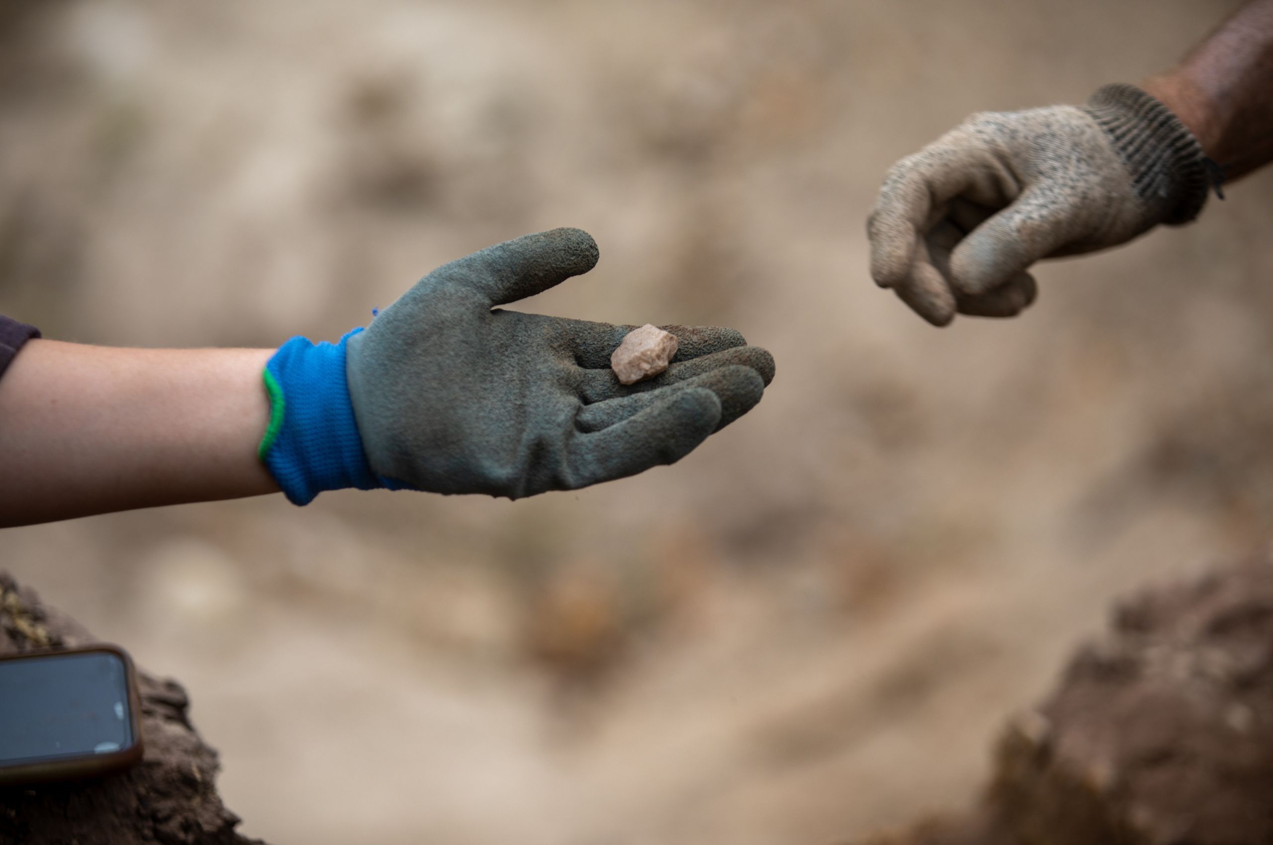
- Stone artefact analysis, as well as use wear and residue studies to interpret tool function and production
- Historical artefact analysis including identification and interpretation of artefacts from historical archaeological contexts.
- Faunal analysis including shell midden analysis and broader zoological studies
- Professional development workshops including training and capacity-building initiatives tailored to heritage and research professionals.