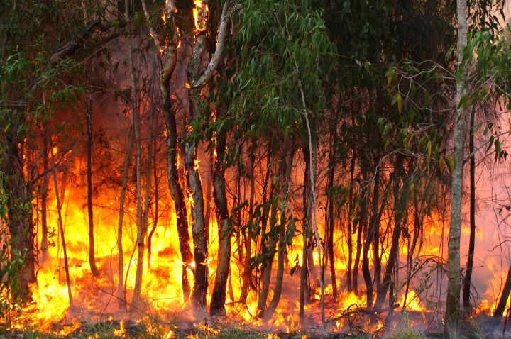
The La Trobe University Engineering department worked with DLR to establish a Remote Sensing Research Group, that will use data received from FIREBIRD satellites to allow emergency services to react in near real-time to a bushfire threat.
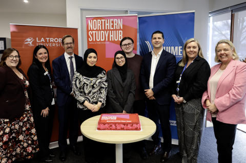
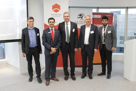
La Trobe Engineering Senior Lecturer and Entrepreneur in Residence, Dr Peter Moar, announced the partnership this month at the La Trobe University and Engineers Australia ‘The Future of Space Engineering in Australia’ event.
“In terms of resolution and sensitivity the satellites are significantly more advanced than what is currently available,” Dr Moar said.
“This technology, with the inclusion of additional satellites in five to eight years’ time, will form the basis of a fire monitoring system that will provide the equivalent mapping of the Bureau of Meteorology rain radar, but for fires.
“Receiving the data in near-real time means this technology has the capability to save lives and reduce the impact bushfires have.”
Dr Moar said members of the DLR previously visited La Trobe’s Melbourne Campus and came away impressed, wanting to further continue the relationship.
“This is a major achievement for Engineering at La Trobe as DLR sees us as having a unique capability to deliver on this complex global project,” Dr Moar said.
High-temperature events will be measured and mapped via the satellite, with high-resolution data then sent back to Earth for scientific research.
By using infrared technology and visible wavelengths, the satellite can map even the smallest bushfires through most clouds and smoke.
“We will be able to detect where and when fires are likely to spread. The FIREBIRD satellites, along with yet-to-be launched satellites, will hopefully help to assist in preventing future major outbreaks,” Dr Moar said.
The FIREBIRD satellites are due to begin transmitting data to La Trobe’s Remote Sensing Research Group at the university’s Melbourne Campus later this year.
The work will also involve ESS Weathertech, an Australian company based in Richmond. The company will be provide the downlink to the FIREBIRD satellites.
Dr Moar said the FIREBIRD project is part of an ongoing collaboration with DLR.
“In November 2015, La Trobe Engineering teamed up with DLR on the Earth Sensing Image Spectrometer (DESIS) project to develop the planet’s sharpest camera.
“Our work on the DESIS project is nearing completion and will be the delivered to NASA in November, for prospective launch in February 2018.
“Based on our excellent work to date, La Trobe has been asked to scale up its team participating in the co-design and development of future DLR high resolution earth observation satellites.”
For more information:
www.latrobe.edu.au/engineering
https://www.engineersaustralia.org.au/portal/event/future-space-engineering-australia
Media Contact: Dylan May – d.may@latrobe.edu.au - 9479 5353 / 0407125909
Photo: Flickr/bertknot