Bendigo Campus
Study at Bendigo and build your clever future
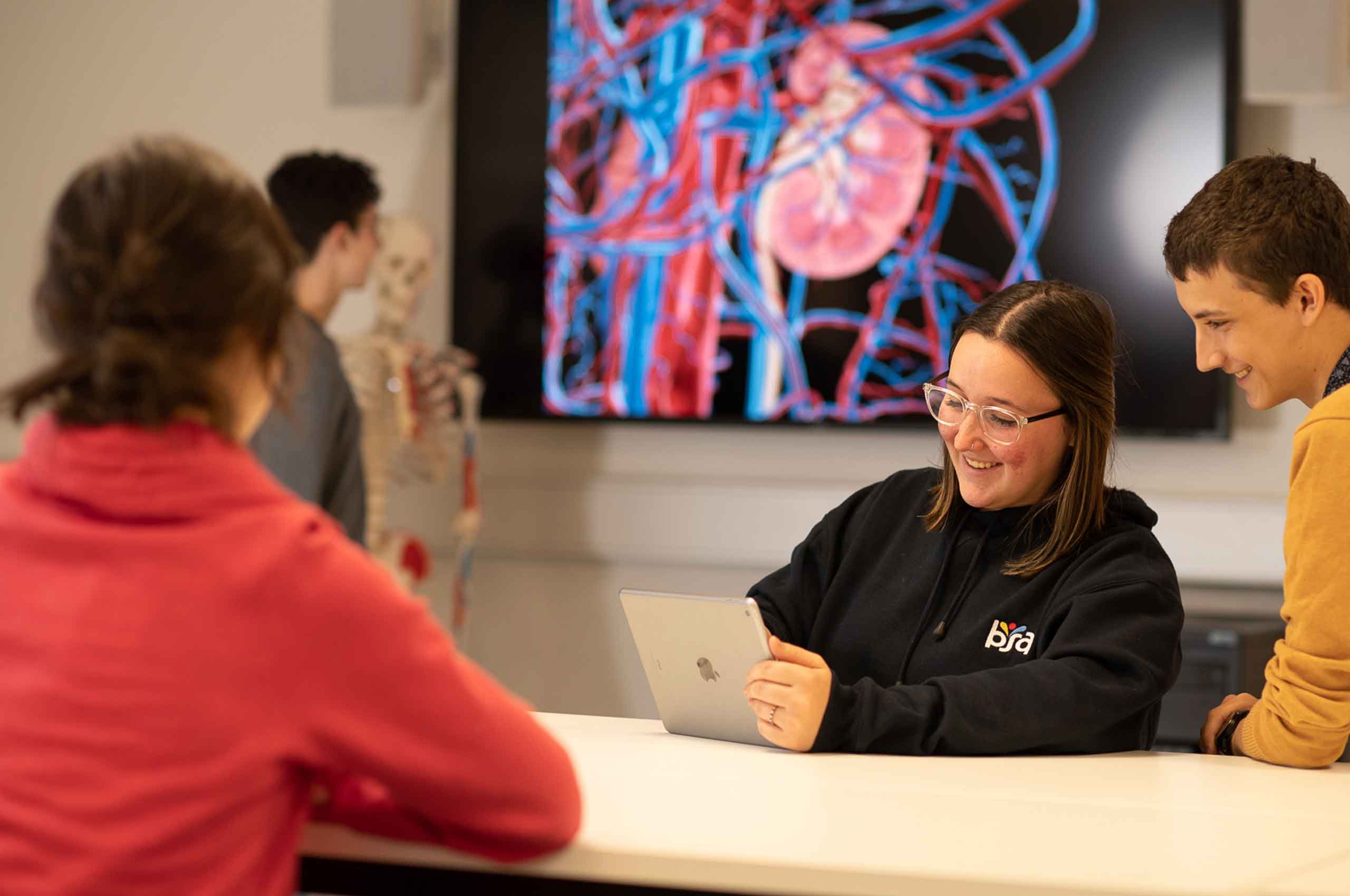
At Bendigo, you'll have access to dedicated teaching staff who are always available to support students.
Your study experience
Why study at La Trobe's Bendigo Campus?
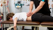
Top 30 for nursing
We’re ranked in the world’s top 30 for nursing.
ShanghaiRanking, 2025, Global Ranking of Academic Subjects 2025: Nursing
Career ready
We offer a leading career-ready program that develops the professional skills that employers want.
La Trobe’s Career Ready Advantage means you develop the skills employers want.
World-class engineering research
Our research in civil engineering is top-rated nationally and rated 'well above world standard.'
Australian Research Council, 2019, Excellence in Research for Australia (ERA) Outcomes 2018

Research at Bendigo
We pride ourselves on our world-class research and connections to the community.
Meet our students

I enjoyed studying at La Trobe Bendigo as the course allowed me opportunities to complete placements at Bendigo Health Hospital which drove me to apply for a position in a very diverse and rewarding workforce. Being a part of the rotational program allows me to gain skills in a range of areas that I am passionate about

The thing I loved about my subjects is you can just get lost in them. I found my passions. At the risk of sounding cliché, it really opened up a whole new world and certainly broadened my horizons. An arts degree just opens so many doors.
Discover our campus and city


Year 12 Hub
Visit our Year 12 Hub to learn more about study and career options, hear from real students, and explore a range of helpful tools.
Contact our team
Events
-
Regional Career Practitioner Conference 2026
Wednesday 29 July 09:00am
-

Shape the Future: Explore the Nexus Postgraduate Program
Wednesday 29 July 06:00pm
-
Master of Physiotherapy Practice webinar
Thursday 30 July 06:00pm
News
-

Telehealth cardiac rehabilitation matches in-person outcomes in new Australian study
La Trobe University and Bendigo Health research shows telehealth cardiac rehabilitation matches traditional programs, improving access for regional patients.
-
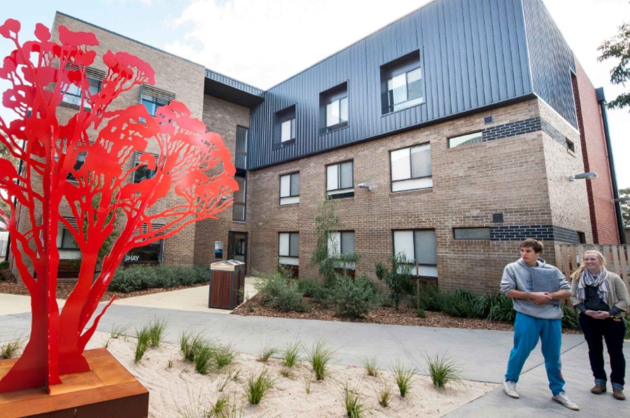
Bendigo student accommodation gets green light
An enhanced student experience is on the way for Bendigo.
-
A strong beginning: The inaugural Holsworth Oration inspires collaboration and impact
The Holsworth Biomedical Research Centre launched its inaugural Holsworth Oration, bringing together researchers, clinicians and industry partners to explore the role of exercise as medicine and foster new collaborations
Indigenous Acknowledgement
We would like to acknowledge the people belonging to Djandak, the country our Bendigo campus is situated on; these people are the Djaara Djaara people of the Dja Dja Wurrung language group. The Djaara people are one of 5 Traditional Owner groups that make up the Kulin Nation. We acknowledge the living culture of the Djaara people and we pay respect to their elders past, present and emerging.