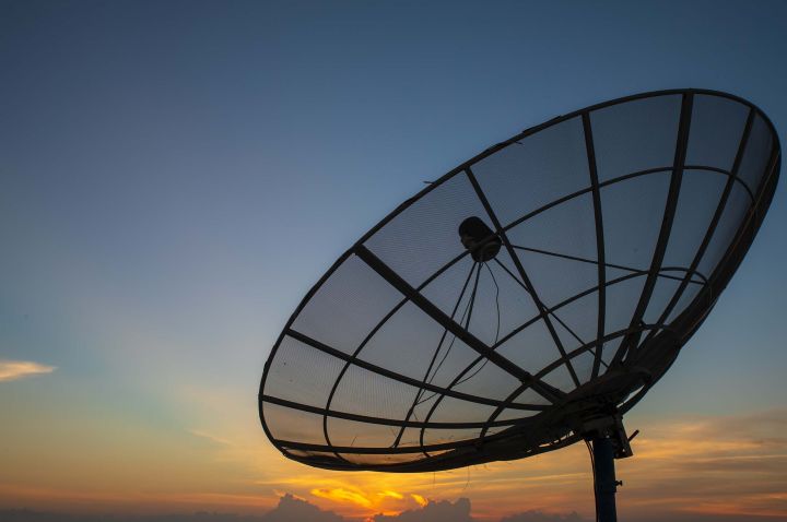
Satellites of the next decade won’t just deliver fast Internet. They’ll also sense what’s happening on the ground.
PhD candidate, William Lukito, hopes his research will improve satellite connectivity for people and devices, while also detecting and tracking objects such as ships, aircraft and vehicles using the same signals.
The result: stronger remote coverage, better maritime monitoring and safer operations in disaster zones.
“In the next decade, satellites will need to detect and track objects while carrying data through using the same limited spectrum and power,” William explains.
He is part of a team that proposes an AI model that learns from past patterns to predict the best link and adjust signals before conditions change.
“Most current designs still depend on frequent checks of signal conditions,” William says. “But in satellite networks, that feedback is slow, expensive and can break under long delays.”
Published in the IEEE Journal on Selected Areas in Communications, the findings suggest that satellites can cut back on constant signal probing and still make reliable decisions.
“When we reduce the need for constant feedback, we reduce cost and complexity,” adds Distinguished Professor and Cisco Research Chair Wei Xiang, William’s PhD supervisor and Director of the Cisco-La Trobe Centre for AI and Internet of Things. “That helps industry deploy services sooner using existing satellite and ground equipment.”
“For end users, it means more reliable coverage for remote communities and field teams – and better awareness for applications like maritime safety and emergency response.”
This research is part of a project supported by SmartSat CRC, a consortium funded by the Australian Government that partners universities and industry to advance satellite and connectivity technologies.